For the past two years, I’ve been exploring the Écrins Region mountain biking trails. Typically, such places were established during the era of pure cross-country riding, with trails often going up and down forest tracks. Difficulty was determined based on distance and elevation gain, rarely taking technical challenges into account (which made sense, as they didn’t exist on the wide tracks).
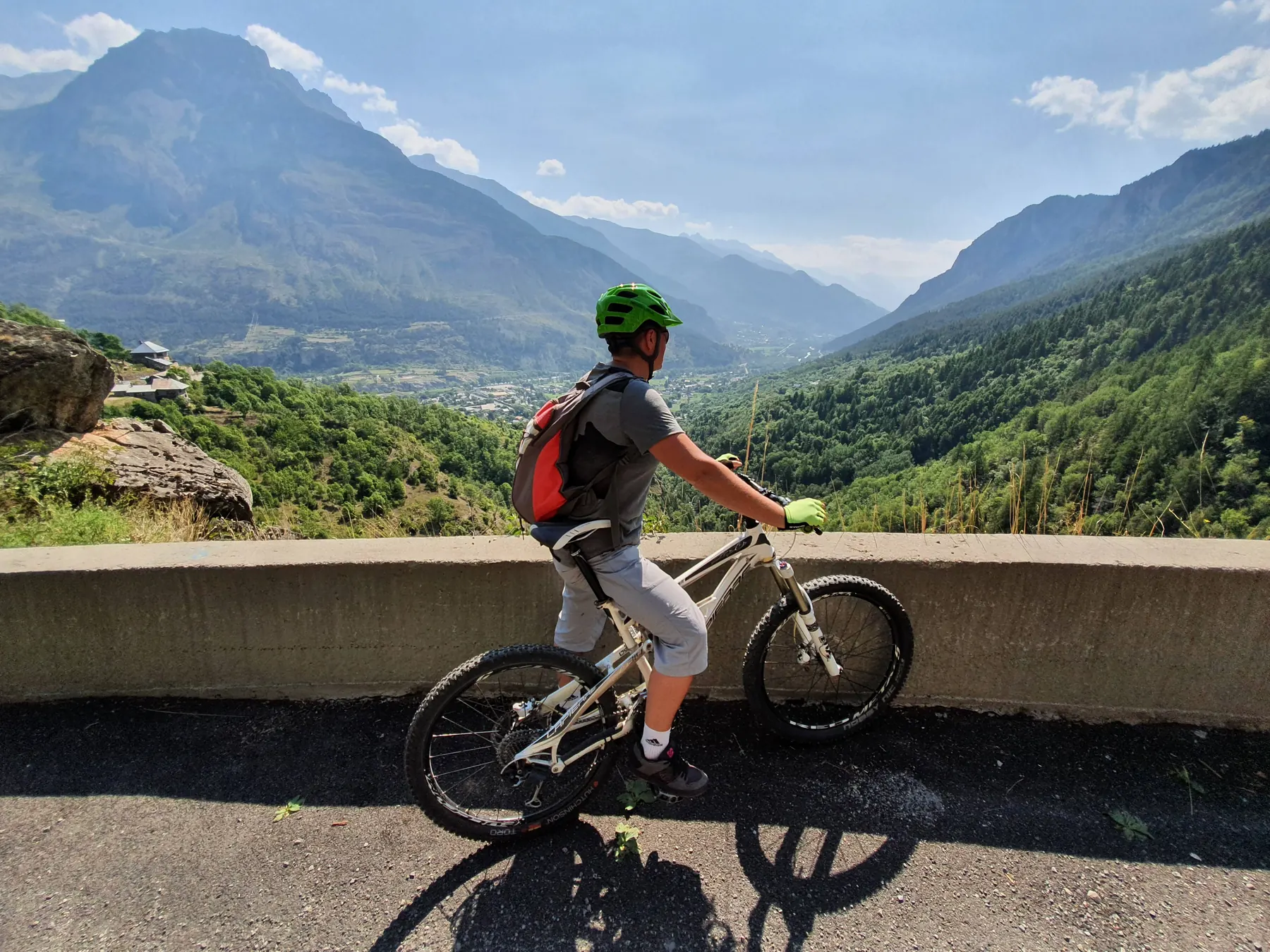
With the surge in “enduro” riding, which requires mountain bikers to tackle more or less natural, rugged, and twisty trails, some mountain biking sites have evolved in this direction. The “Pays des Écrins” region is a perfect example of this transformation. Here, you can find trails with the same difficulty rating that can vary significantly in terms of the skills required for full enjoyment.
This article aims to help you choose the right bike ride in the FFC VTT Pays des Écrins site. It will evolve based on my knowledge of the terrain, and I still have a few kilometers to cover. In any case, I’m thrilled to share this mountain biking adventure with you and continue exploring the wonders that the Écrins Region has to offer. See you soon on the trails!
Trail 4 "Les Claux" - 5.2 km, +70 m elevation gain
A short circuit ideal for family outings along the Gyr River. It poses no particular difficulties and offers a pleasant ride between the Pelvoux ski resort and Les Claux. You can also follow it to connect with other mountain biking trails in Vallouise.
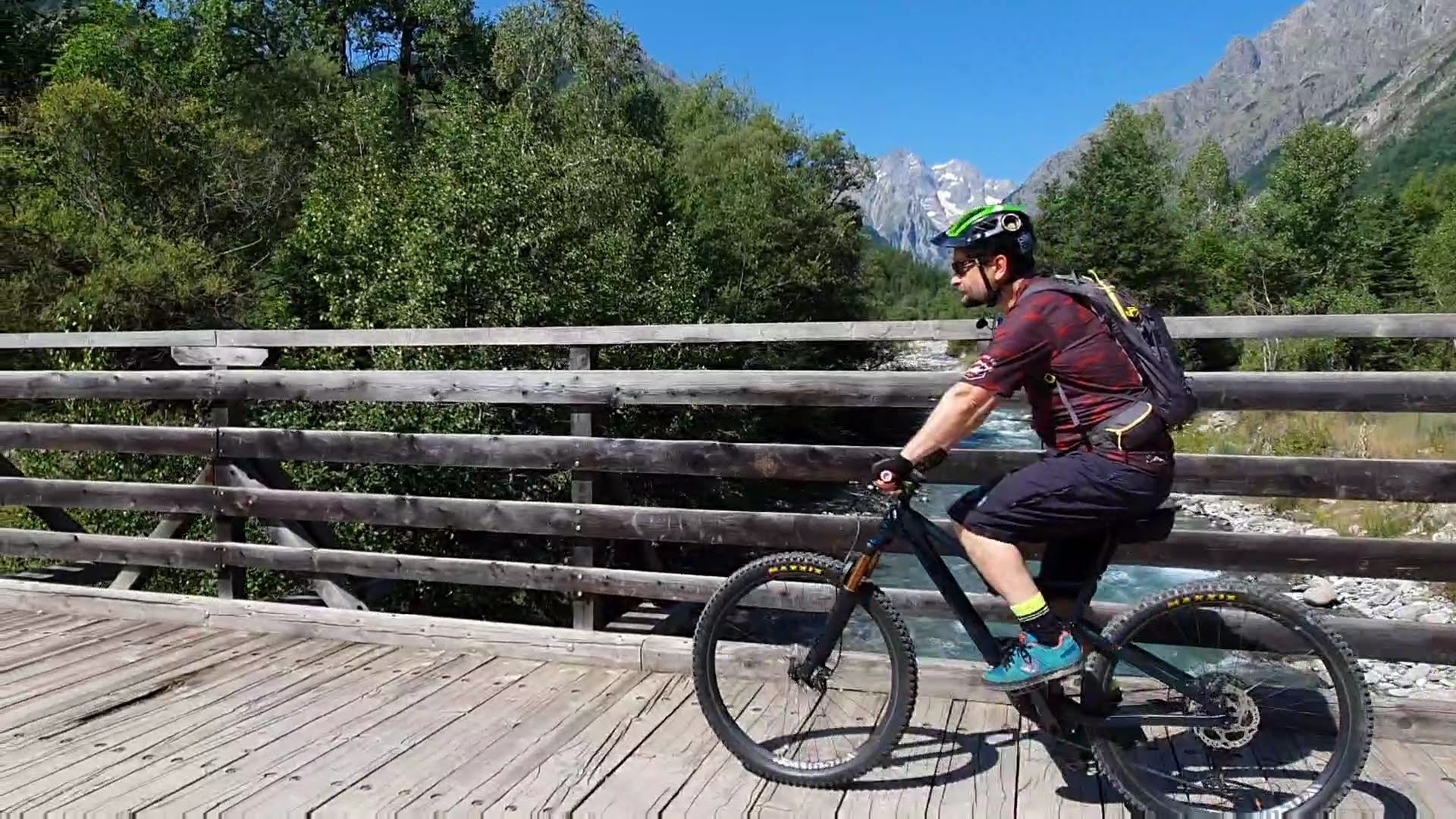
Easy Trails (Blue)
Sector Vallouise
Trail 5 "L'Onde" - 8.3 km, +150 m elevation gain
This trail follows the course of the Onde stream to the Places Bridge, using wide tracks without major technical challenges. Upon returning to the starting point, a surprise awaits you: a much more entertaining second part of the circuit. The ascent and descent on a short single track give you a taste of the sensations awaiting you on other trails. The blue difficulty level applies only to the latter part of the circuit. If you’re looking for something for an experienced mountain biker, look elsewhere, as there are many other trails in the vicinity.
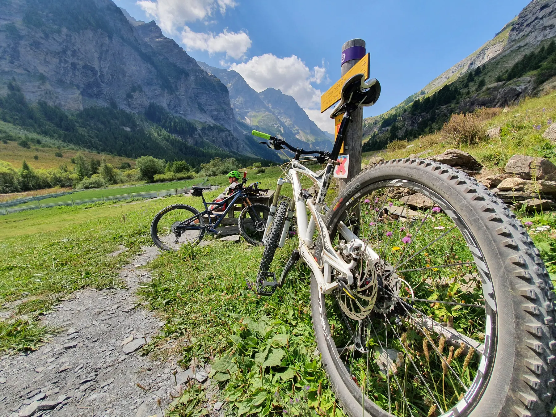
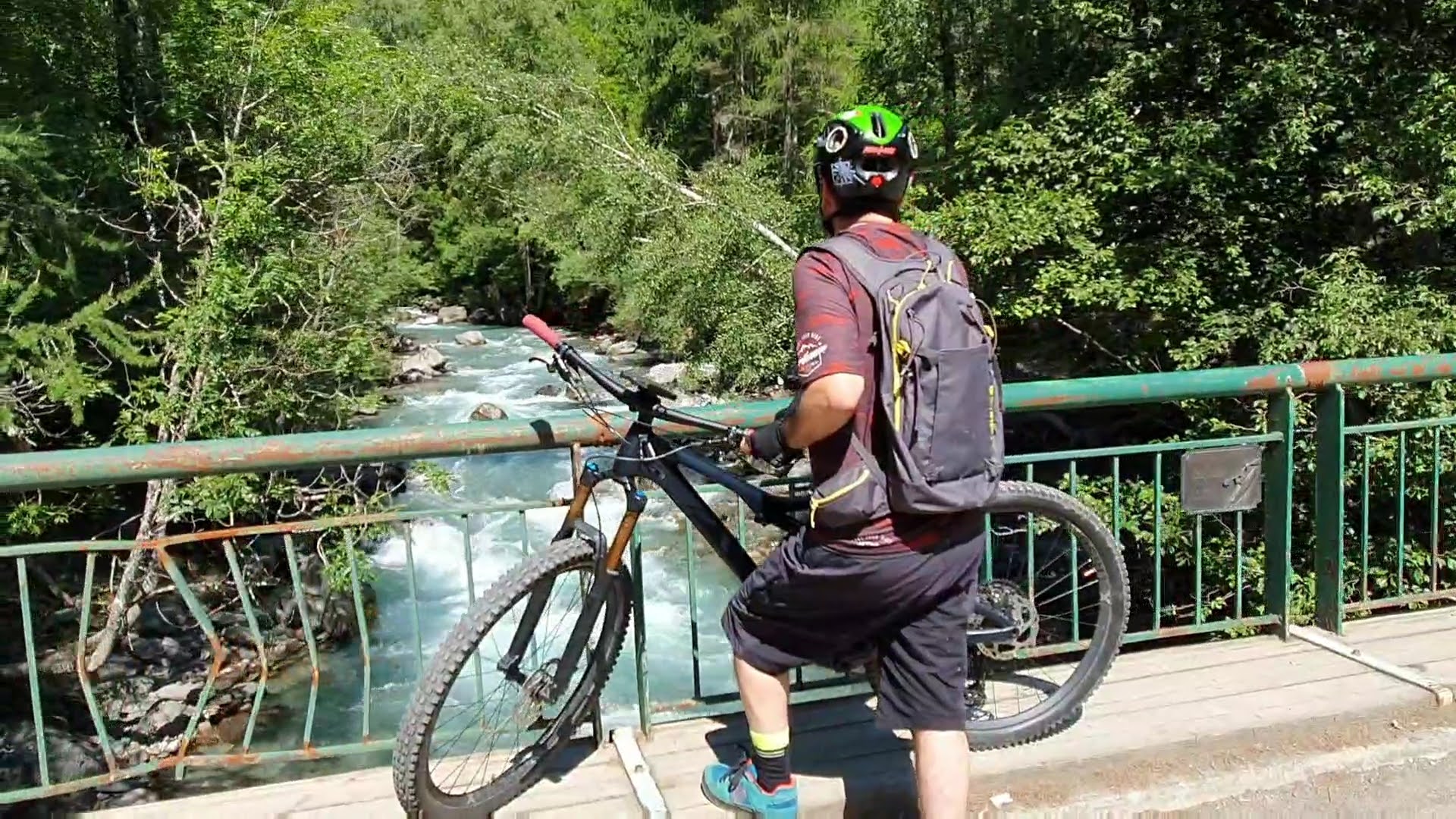
Sector L’argentière-la-Bessée
Trail 17 "Les Chardons Bleus" - 25 km, +686 m elevation gain
A circuit of the same color but with a very different character. It begins in L’Argentière-la-Bessée, following the paved road that leads us into the Fournel Valley. The impressive walls of the canyon plunge steeply to the river, where the shouts of kayakers echo. We pass by the old silver mines (worth a visit on a gloomy day) and continue along this seemingly endless road. I won’t lie to you; this climb can seem very, very long. Once we reach the Deslioures Biological Reserve, a short break is in order to celebrate the end of the ascent. The view of the valley and the surrounding peaks is well worth it.
After turning back, we descend the same trail as on the way up, thankfully leading us to the single track on the other side of the river. Easy and fun, it descends to the trail that, in some places, offers dizzying views of the valley. The last kilometers of the circuit are more challenging; the single track is strewn with rocks and sometimes makes sharp turns. Don’t hesitate to dismount if this part (more red than blue) exceeds your mountain biking skills.
Where to stay in the Pays des Écrins.
Looking for a holiday in the Hautes-Alpes? Escapadelia will welcome you in Vallouise-Pelvoux all year round. Our holiday appartments are an ideal base to discover the Hautes-Alpes and the Pays des Ecrins.
L'auteur de cette article ne peut pas être tenu responsable en cas d'accident ou de désagrément quelconque survenu sur ce circuit. / The author of this article cannot be held responsible for any accident or inconvenience that may occur on this circuit. /L'autore di questo articolo non può essere ritenuto responsabile per eventuali incidenti o inconvenienti che si verificano su questo percorso./ Autor tego artykułu nie ponosi odpowiedzialności za jakiekolwiek wypadki lub niedogodności, które mogą zdarzyć się na tym szlaku.

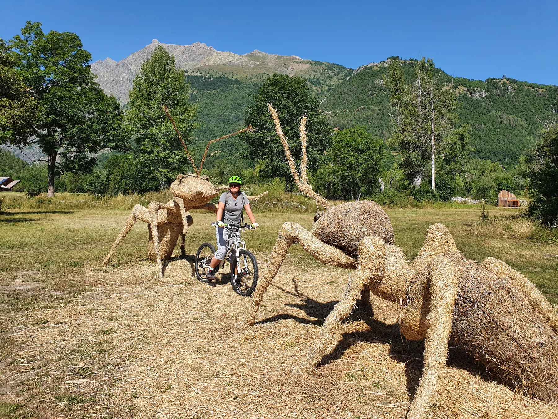
 Sector Les Claux
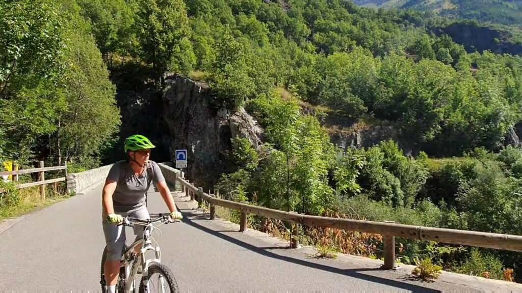
 Sector Vallouise
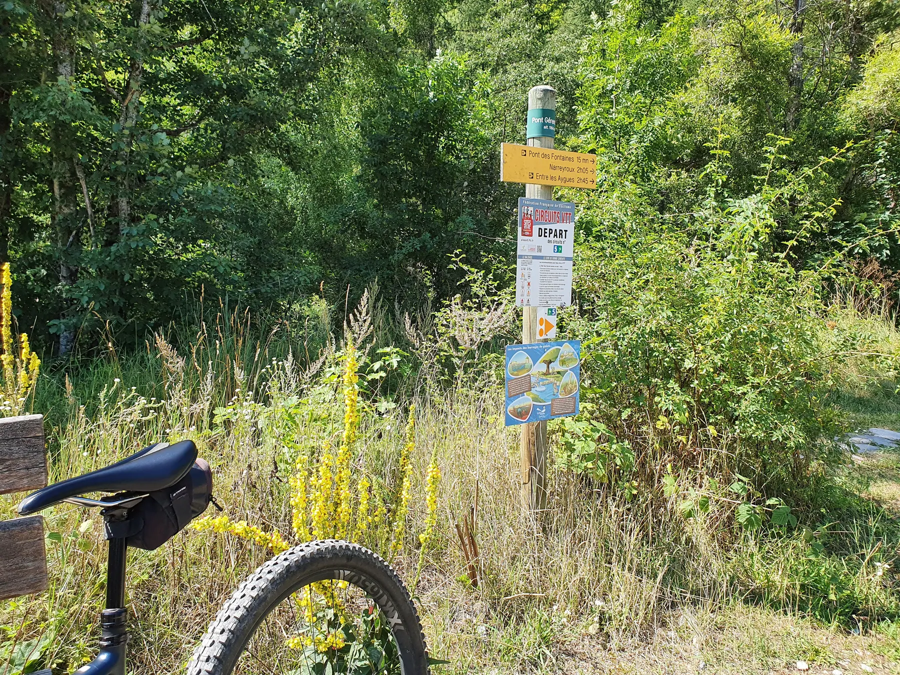
 Sector L’argentière-la-Bessée